Our Approach
Fibonacci Enterprises
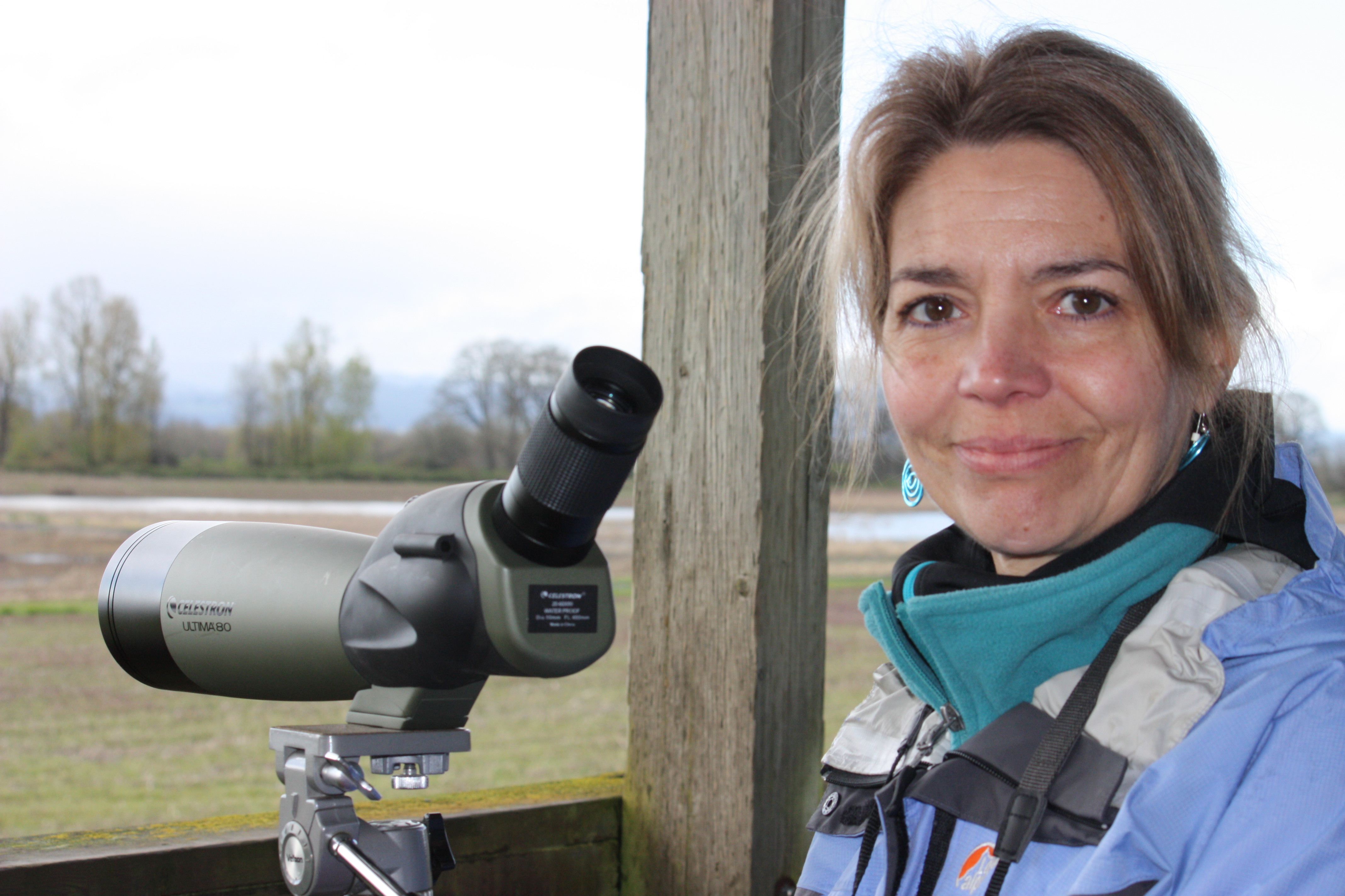
As a resident of Portland for over 20 years, I waited for someone to put together a readable map or guide of Sauvie Island. No one produced such a map-guide, so I decided to invest my savings and time into the effort. I needed a name as a self-publisher, and being a fan of the Fibonacci numbers, the business name was born. The Fibonacci numbers form a sequence relating very closely to the "divine ratio" or "golden mean," which is about 1:1.618. The expression of this ratio is found all over nature -- from pinecones to spiral galaxies. The ratio applies to the growth of things (befitting) and its expression is always beautiful. I'm a natural resources planner (aka ecologist), and I've always been a designer and an art-buff. Therefore, under the banner of "Fibonacci," my criteria for the guide were that it be supremely accurate, highly useful, visually appealing, and environmentally sustainable.
It took 20 years of “lessons learned” and a dedicated two seasons of island research for me to master the island. Most people don’t realize the island's vast size or the variability of its waters. With one bridge to the island, tidally- and seasonally-influenced waters, lack of signage, and sensitive habitats, a decent island map is essential. It also helps to be at the right place at the right time, so I produced a companion guide along with the map. Now anyone can master the island for just $6.95.
Sauvie Island Recreation Guide
Most would agree that bulky maps are cumbersome. The Sauvie Island Recreation Guide is very portable. Its 11”x17,” z-fold design allows one to use the guide portion like two pages out of a book, and the shoulder-width map inside is easily read in a car or boat or on a bicycle. The light-weight, flexible, water-resistant, tear-proof design holds up well for birders, boaters, swimmers, and hikers.
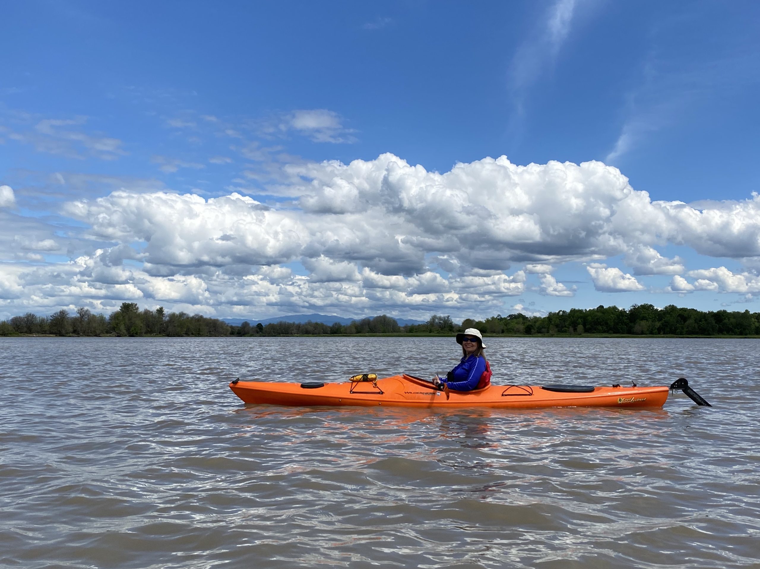
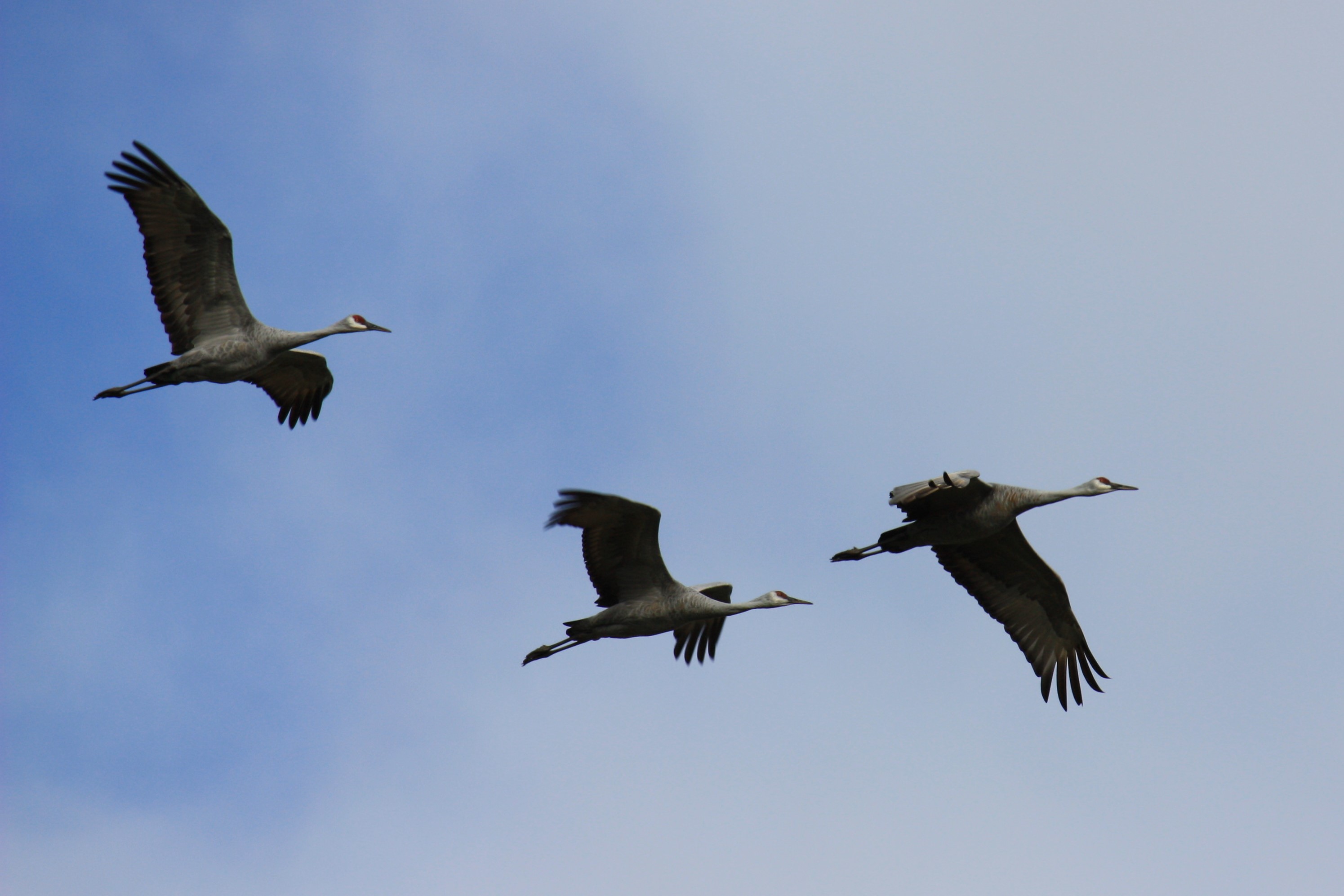
The guide tabularizes useful information to help the visitor have the best, safest experience of the island and to consider the needs of island residents – human, plant, and animal. Private property lines are designated and clear driving instructions are provided to deter lost vehicles from turning around on someone’s property. As a professional natural resources planner, I especially aimed to create a guide that would help recreationists be more respectful of habitat and wildlife. People tend to drag boats over tall streambanks and through marshes and to hike and boat on seasonally closed land and water trails. They simply don't know where to safely launch their boats, and they aren’t clear about seasonal closures. Care was taken to identify suitable, long-term boat access points, navigable waters, and trails that would afford habitat and wildlife protection.
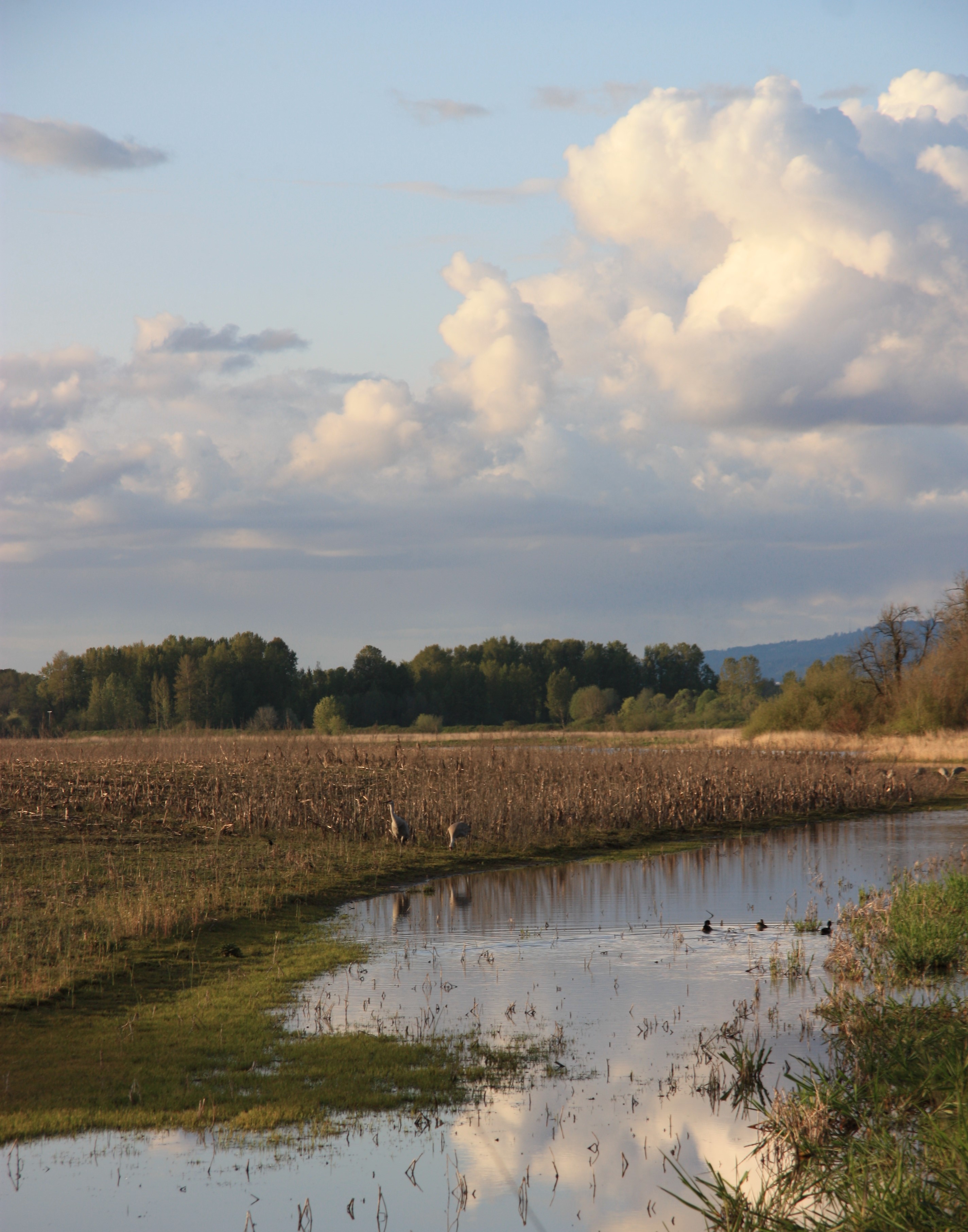
I discovered so many new places during my many research trips out to the island -- places that most of my friends (and even islanders!) also never knew about. The guide can be used as a pre-trip planner or as a tool to afford spontaneity once on the island. With over 40 sites mapped and clear directions to find them, I'm sure you'll find this light-weight, compact map-guide your new, best island friend. Have fun adventuring!